School of Hard Kanakas
We left Butchart Cove in a tangle of mid-September sunshine. Rounding the Saanich Inlet and heading eastward through Satellite Channel, we put in more tacks than an upholstery installer. The direction of the wind meant forward progress was slow once in the channel and we clawed a path back toward the Gulf Islands.
When we weren't fighting to gain or hold our eastward progress, we were dodging crab pots scattered like mines throughout the waterway or criss-crossing with enormous tugs, carrying a speed and determination that belied the hulking loads of this or that crucial, mountainous freight being ponderously hauled to and fro.
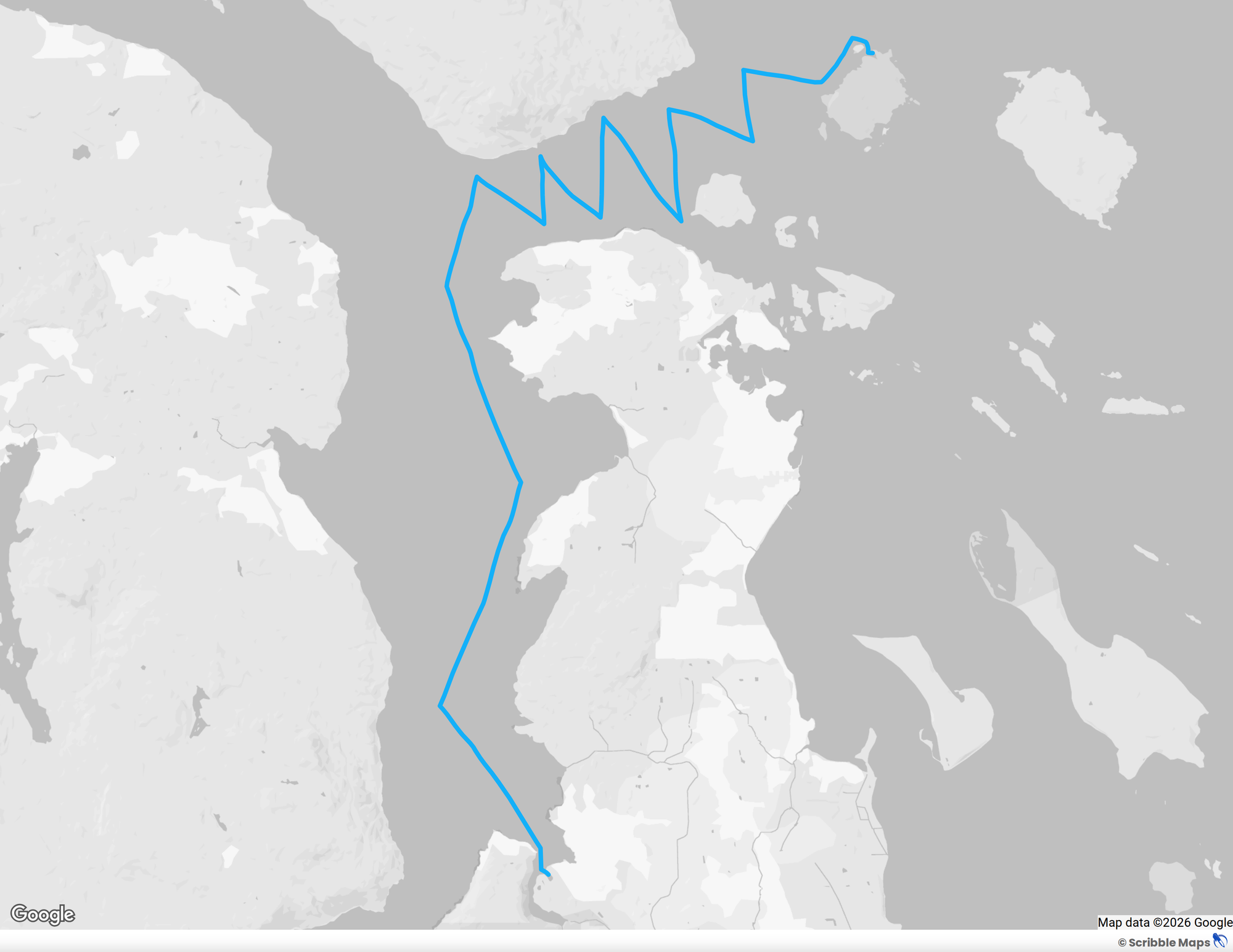
But the wind was consistent, the sun was out, the seas were amiable and we thoroughly enjoyed the tacking, continuing to learn the nuances of the boat and tumble toward a rhythm of working together, typically with one person at the helm and the other operating the sheets for the genoa headsail and minding the sail trim.
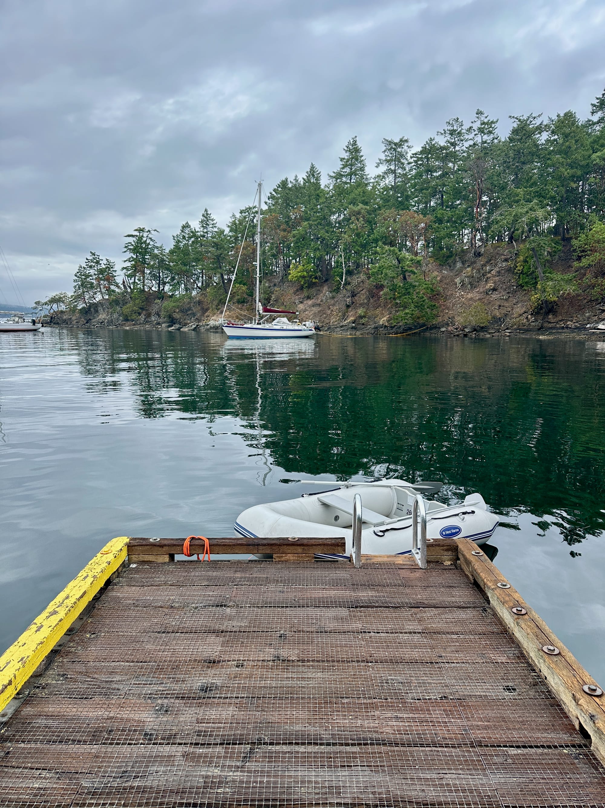
We cautiously rounded Chads Island and nosed into Royal Cove on the north end of Portland Island. We turned a few (hopefully) polite circles while someone departed from a fine anchoring location in the small cove. We dropped the anchor, backed down toward the rocky shore and managed our third stern tie with no more drama than a small splash of water in a wayward boot.
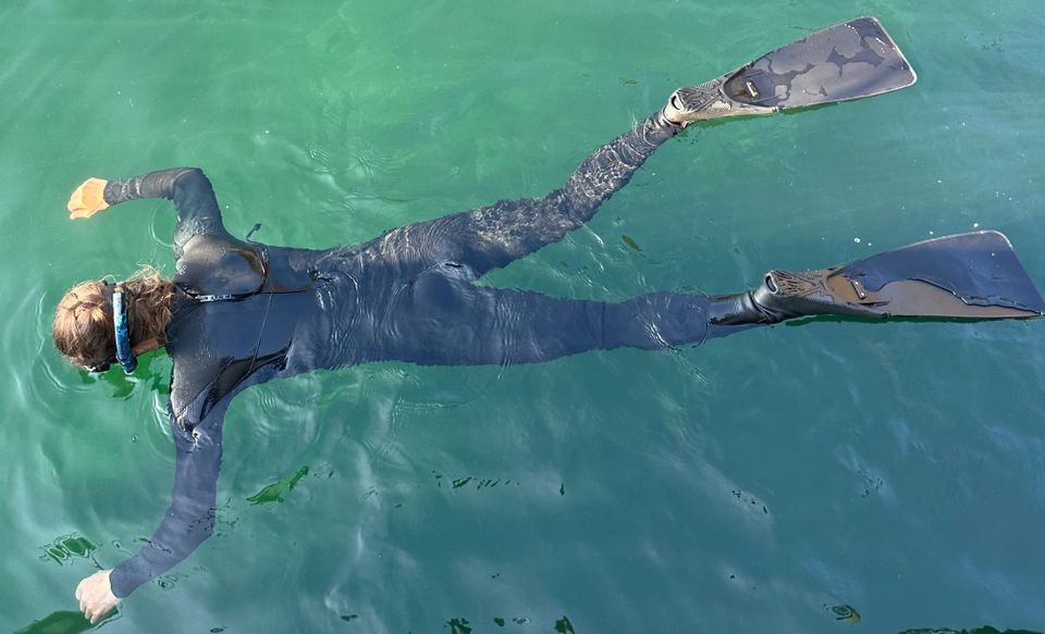
The shallow depths close to the the shore and the dramatic pending tide change was enough for Katherine to free dive on the anchor and get an underwater glance at the keel and rudder relationship to rocks below. We wanted to be sure the anchor was set well and wouldn't give an inch toward shallower waters and to feel confident we wouldn't touch rocks on the bottom as the tide dropped. The verdict?
A tough call.
Eyeballing exact distances is harder than you might think from underwater. The boat is equipped with a depth sounding device that displays a number on an instrument for us. However, we didn't yet have 100% certainty in that number. The depth sounder is on the bottom of the hull, just forward of the keel, a couple of feet below the water line and a few feet above the bottom of the keel. We know the construction-specified distance from the waterline to the bottom of the keel, but we don't know how accurate an offset is programmed into the depth sounder's display to compensate for its location. And the weight of the boat probably means it sits a smidge lower in the water than the build sheet optimistically suggests. We couldn't be certain until we experienced low tide which was due to arrive, naturally, about 2:30 am.
Katherine follows the chain down about 30 cold, cold feet to ensure the anchor is set well.
So I set an alarm and was awake in the dark, still hours. After checking the depth and finding myself...uncomfortable, I eased the stern tie and took in anchor chain inch by inch to haul us into slightly deeper water as the tide ebbed and the rocks loomed.
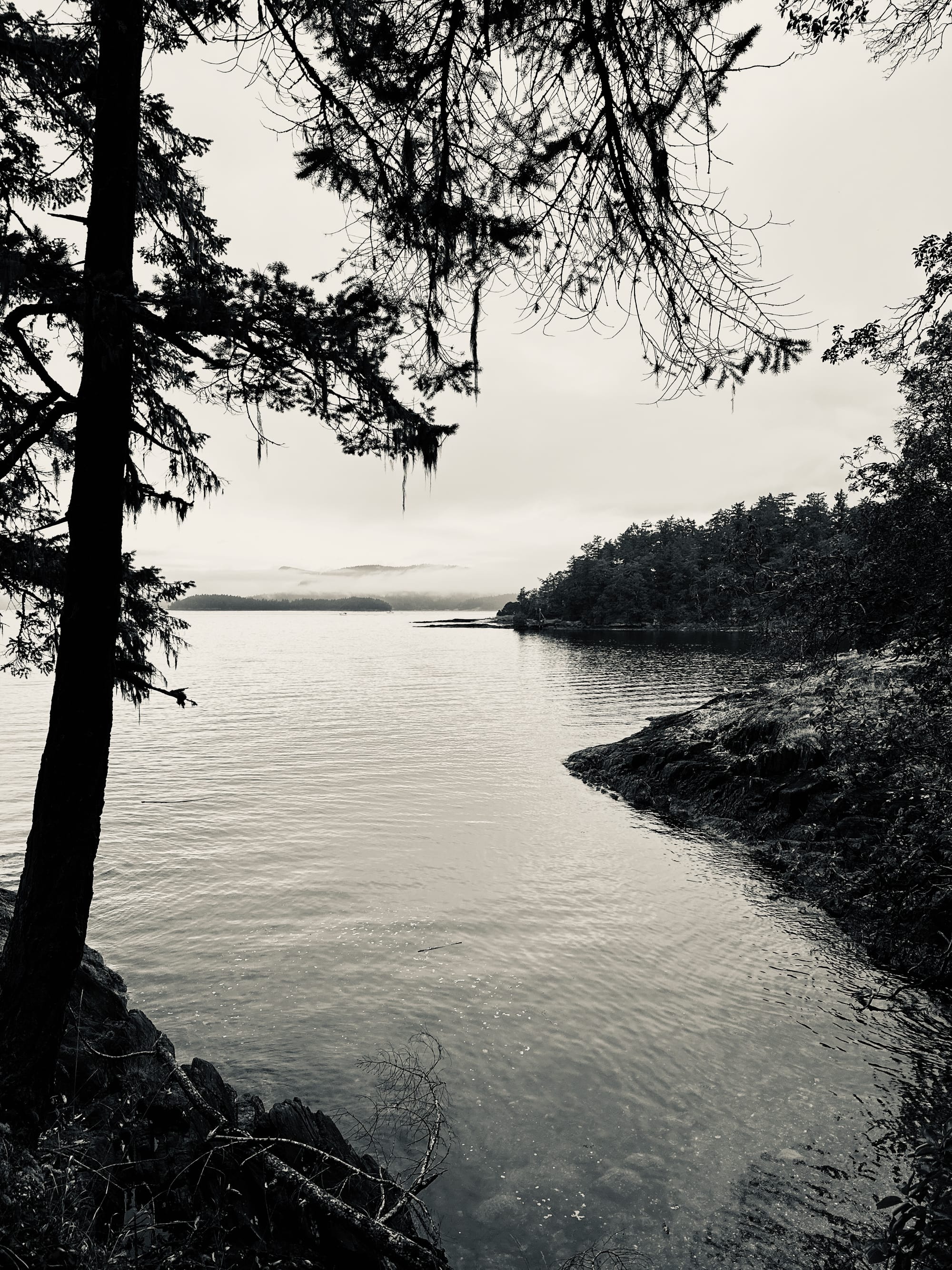
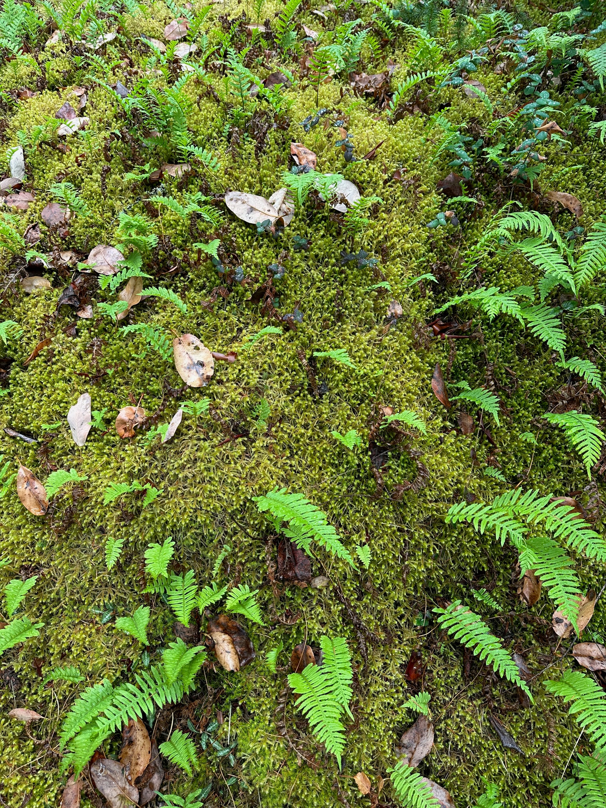
Portland Island is another dedicated marine parkland and it's a real stunner. Royal Cove itself is absolutely gorgeous and the island has a perimeter trail winding through stony bluffs, soul-soothing expanses of moss, wild ruckuses of trees, midden shell beaches, and vistas into places that seem like imaginary land and seascapes, an unreal faraway pulled somehow close to possible.
In a quirky colonial dance, British Columbia gifted Portland Island to Princess Margaret in 1958 when she visited the province. About ten years later, she gifted it back, for use as a park. Colonialism is weird.
There's a fascinating Hawaiian legacy here as well. George Vancouver had sailed with James Cook, including during Cook's first landing in Hawaii. As seafarers made Hawaii an increasingly frequent stop, the Hawaiians themselves came into high demand as sailors, navigators, skilled workers, etc. Many Hawaiians ended up in the Pacific Northwest working in the fur trade and for the Hudson Bay Company's west coast operations. A compelling BBC article suggests that by the mid-1850s, half of the settlers in the Gulf Islands may have been Hawaiians.
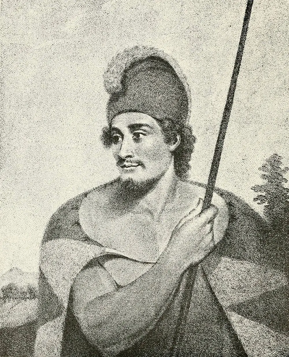

Reportedly, the Hawaiians got on famously with the Chinook tribes and integrated well into the area. On Portland Island, Hawaiian settlers had a vibrant apple orchard and participated enthusiastically in the feast days of the First Nations people.
“People think of the islands as a white place,” BC historian Jean Barman told the BBC. “Time erases stories that don’t fit the preferred narrative.” Hawaiians were called "kanakas" by the British, stemming from a name they held for themselves. Eventually, in typical colonial fashion, all Pacific Islanders caught up the colonial era were referred to as kanakas, often in a derogatory way. It's a complicated history.
The word "kanaka" is still used with pride, and with an indigenous understanding, by Hawaiians.
Member discussion